Wallace Marine Park to Wheatland Ferry
-
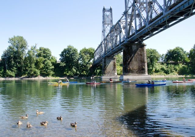
Wallace Marine Park
LoadingThere is a paved boat ramp that is extremely popular with powerboats. The portable restroom is up from the boat ramp. The gravel bar launch site downstream is preferable for…
-
McLain Island
LoadingThis island provides relative quiet. The island makes for a good lunch stop. The image above is on approach to the island (which lies in the center of the river),…
-
River’s Edge Park
LoadingAlso known as “Wallace House Park,” this city park is an undeveloped greenway. In recent years, local authorities have come to believe that this was once the site of Wallace…
-
Sunset Park
LoadingThis small park has a grassy bench that looks out toward the river. The park is nested among the suburban riverside residences of Keizer. (Possible launch, although only street parking.)
-
Palma Ciea Park
LoadingA small, undeveloped site in the middle of the city of Keizer. A small, grassy bench overlook could make a good lunch stop.
-
Keizer Rapids Park
LoadingKeizer Rapids Park… has no actual rapids folks! There is no longer a campsite at this park, but there are new amenities not featured on the first edition Water Trail…
-
Darrow Rocks Landing
LoadingAn undeveloped site near the rocks with a small gravel beach.
-
Darrow Bar Island
LoadingAn island with a nice back channel. Watch the pilings at the entrance to the back channel. Camping is on the main channel side of the island on the gravel…
-
Darrow Bar Access
LoadingPeaceful site with pleasant river views. Small parking lot.
-
Spongs Landing
LoadingA county park with picnic shelters and a grassy bench overlooking the river. The park makes a good lunch stop on trips from Salem to Wheatland.
-
Private: Spongs Island
LoadingA long, undeveloped gravel bar island. Primitive camping allowed. (no amenities)
-
Lincoln Access
LoadingA peninsula, at most levels with willows and a shoreline of sand and gravel. Named after President Lincoln, this early-day town was a principal community on the Willamette, with warehouses…
-
Windsor Island Access
Loading
-
Spring Valley Access
LoadingAccessible to nearby road traffic, this OPRD Greenway park is not recommended for camping. There is permanent pit toilet.
-
Willamette Mission State Park
LoadingOne of the hidden treasures of the OPRD system, this large park was once the home of Jason Lee’s Methodist mission. A ghost structure stands today to mark the approximate…