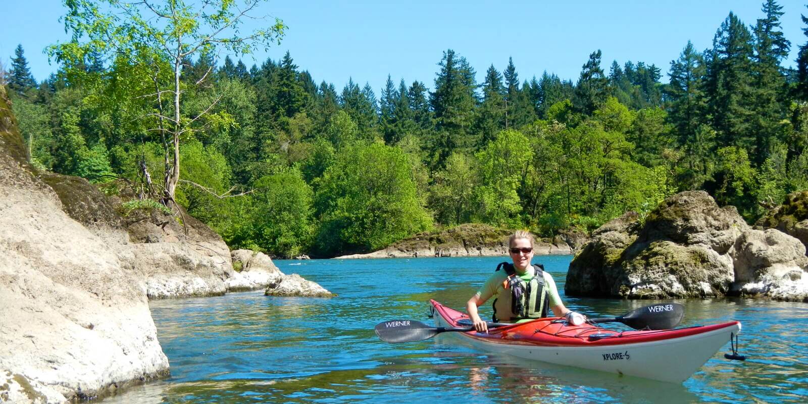
Willamette Narrows
Safety Alert:
This trip is most accessible to beginner paddlers at lower water levels when there is less current. At higher river flows, like the winter and early spring, this trip is best for intermediate or advanced paddlers. The basalt islands constrict the flow of the river and can create very "swirly water" and strong, dynamic currents at higher flows (although some experienced paddlers come here for that very purpose!). Also, high flows make the paddle upstream to the islands much more challenging (to near impossible) depending on the levels. Also note that if you walk around the islands, beware of poison oak!
-
Bernert Landing
LoadingAlso know as Willamette Park in West Linn, this property makes an excellent put-in for a short trip up to Willamette Narrows and a great take-out for longer trips. You…
-
Rock Island and Little Rock Island
LoadingRock Island (67 acres)and Little Rock Island (12 acres) make a great suburban getaway. The area has madrone and oak-covered hillsides and rock faces overlooking the deep and relatively narrow…
-
Rock Island Landing
LoadingThis 469-acre property, which is owned by Metro and the State of Oregon, is a fantastic natural area. Paddlers can take out in the small embayment immediately above the landing…