• Starting Point Sellwood Riverfront Park - RM 16.5
  • End Point Sellwood Riverfront Park - RM 16.5
  • Why this Trip

    This is the ultimate urban adventure in the heart of downtown Portland. You can experience a large, urban restoration project and see wildlife, such as bald eagles, blue herons, deer, river otter and beavers.

  • Conditions and Equipment

    A canoe or kayak works well for this trip. Although it is all flat water, paddlers can experience wind-driven waves, tidal current and boat wakes at times.

  • Amenity Highlights

    The park has parking and restrooms.

  • Trip Description

    The Holgate Channel, located on the east side of the island, is a No Wake Zone (excluding commercial vessels). Ross Island is owned by the City of Portland on its northern, downstream reach, and Ross Island Sand & Gravel owns the rest. You are free to wander the island’s shores except where RIS&G has its operations, or is conducting restoration work. You may not enter the interior of the island, all of which is private property (and is covered with poison oak!). 

    There are multiple locations to access the Ross Island loop. Start and end at Sellwood Riverfront Park just off Spokane Avenue on the east side, or Willamette Park just off Macadam Avenue (Highway 43) and Nebraska Street on the west side, or at the public dock near the SE side of the Hawthorne Bridge.

  1. Sellwood Riverfront Park

      1. Picnic Table
      2. Public Dock/Transient Use
      3. Restrooms
      4. Vehicle Access/Parking
      5. Water
      • River Mile 16.5
      • Latitude 45.46648
      • Longitude -122.66449

    LoadingThis small park offers a good put-in, with parking and a sandy beach at most water levels. For an afternoon getaway, paddlers can access Ross Island, loop around the island…

    Continue Reading

  2. Oaks Bottom Wildlife Refuge

      1. Hiking
      2. Wildlife
      • Latitude 45.48166
      • Longitude -122.65381

    Loading

    Continue Reading

  3. Ross Island

      • River Mile 15.5-14
      • Latitude 45.49586
      • Longitude -122.66416

    Loading(Privately owned by Ross Island Sand & Gravel with the exception of the north tip, owned by the Port of Portland, in addition to 45 acres owned by the City…
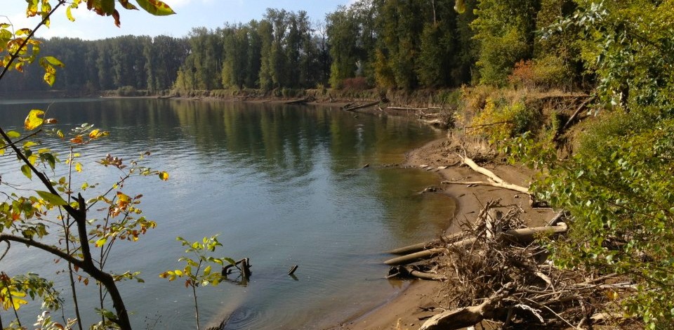
    Continue Reading

  4. Toe Island

      • River Mile 15
      • Latitude 45.48235
      • Longitude -122.66813

    LoadingA small gravel island with no amenities, but suitable for a rest stop.

    Continue Reading

  5. Willamette Park-Portland

      1. Boat Ramp
      2. Picnic Table
      3. Restrooms
      4. Vehicle Access/Parking
      5. Water
      • River Mile 16
      • Latitude 45.47555
      • Longitude -122.6686

    LoadingThis park offers access to the river via the boat ramp or a rocky beach next to the ramp and can be a launching point for an excursion to Ross…

    Continue Reading

Add a Comment

All commments are reviewed by the web site administrator before posting.