Sam Daws Landing
This is another large area, with flat areas among the river rock to camp. The river is constantly changing; in this zone in particular, you will find that the river has changed its course as compared to the printed water trail maps.
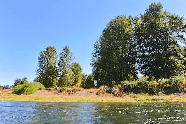
Note that as of 9/16/20 Sam Daws and Buckskin Mary Landing are essentially one and the same site due to a shift in the river channel. You will see the sign on river right printed with the name “Buckskin Mary.”
Karl Lisle Jul 29, 2013
I couldn’t find much suitable for camping here. And this side channel no longer flows. Better to continue up around the bend to Buckskin Mary. There was a Bald Eagle eating a fish here.
Paul Norman Aug 5, 2013
We found a decent camp just north of where the map icon for Sam Daws Landing shows on the river trail map.
Travis Williams May 8, 2014
Hmmm. There is a lot of room on the West Side of the river, basically from the river’s edge up to 150 feet in. The East side, where there is a river register works great too, and has a lot more space.
Doug Decker Aug 31, 2024
Camped here on August 27th: large site, suitable for groups. Table and fire ring well up from the river (uphill carry). We camped closer to the water. Heavy agricultural harvesting equipment operating across the river until 3:00 am. Otherwise nice stretch of the river. Good hiking trail to the north through the OPRD property.