Marshall Island to Peoria Park
- Marshal Island Access
- Peoria Park
-
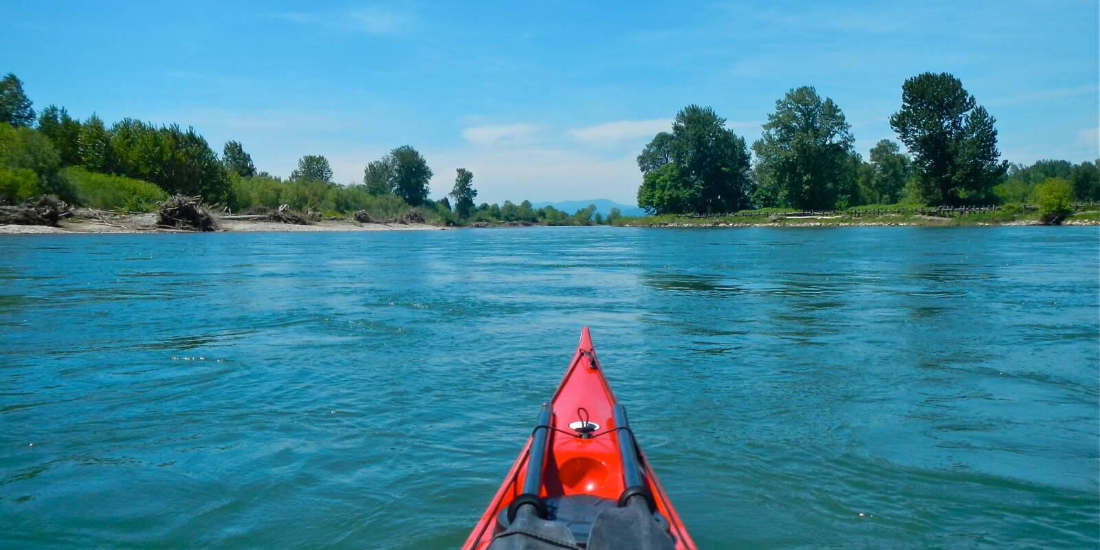
This is a gorgeous section of the Upper Willamette, full of braided backchannels, alcoves, wildlife and a number of outstanding campsites to choose from. This reach has a very natural, wild feel.
-
Like many of these suggestions, you can make this a 2 night or a 1 night camping adventure, depending on your preferences, and what time you are ready to launch at the put-in (and thus how many miles you can or want to paddle on day #1). Contact Riverside RV and Boat Storage (541-998-1694), the local business located just before the entrance to Marshall Island Access, if you need to park a vehicle securely overnight for a reasonable fee.
You have numerous scenic campsite options beginning with “Blue Ruin Island” which is a relatively short paddle from your launch. It can be somewhat easy to miss as it’s not a very obvious looking island as you approach it from the upstream end. Stick to the mainstem as you approach as the backchannels here are usually full of wood. You can take out pretty easily anywhere on the mainstem side of the island. A lesser known campsite, not labeled on the 1st edition WT map, is located a short distance downstream on river left. It’s an OPRD property called “Blue Ruin Greenway.”
As you approach the railroad bridge, be cautious of wood debris hung up on the bridge pilings, and anticipate some swirly water just under the bridge. Remember to keep paddling here and you’ll be much more stable!
You’ll pass two river access points as you move downstream from here, Harrisburg and McCartney Park, before you reach the next campsite option at Harkens Lake, which is the wide gravel bar on river left. Beyond here, other options include DSL Island 152, or the upstream end of Irish Bend.
Whether you camp at Norwood Island or not, this Willamette Riverkeeper property deserves a visit as there are hiking trails to explore. If you choose to paddle the back channel, be aware that there can be wood hung up on the remnants of the old bridge (marked as a hazard on the map). You may want to avoid this option during highwater when the current is running swiftly as you may have difficulty bailing out once you commit to paddling the backchannel. As with any unfamiliar backchannel, do not enter blindly, “when in doubt, scout it out!”
Norwood East is also a terrific campsite, and due to the gradually sloped gravel bar, it can be easier to unload your boats and camping gear.
As you near Buckskin Mary and Saw Daws Landing, the river has shifted compared to the view on the 1st edition WT map. The two campsites are essentially one and the same now.
Be sure to explore the alcove around RM 143 after Snag Boat Bend for a cool side trip. The Hoacum Island Landing campsite labeled on the 1st edition WT map is no longer a viable camping option. This channel is not always navigable either, so keep that in mind as well!
The take-out at Peoria Park can be easy to miss. Look for the Middle Channel confluence on river left and you’ll know that Peoria will be coming up soon on river right. The boat ramp is tucked into an alcove, and is not immediately visible from the mainstem, so be alert!

-
Marshall Island Access
LoadingThis OPRD park has a newly improved boat ramp as of the fall of 2012. Paddlers will also appreciate the enlarged eddy to launch into before hitting the current.
-
Blue Ruin Island
LoadingThis is a large island with a small backchannel, usually year-round, but the channel is reliable full of wood. It has little protection from the sun, but offers a flat…
-
Blue Ruin Greenway
LoadingThis OPRD property on river left is beautiful, quiet, and rustic. It is not labeled on the 1st edition Water Trail maps.
-
Harkens Lake Landing
Loading This site is quiet and feels remote; camping is on the mainstem side on the gravel bar. Be sure to explore up the back channel here before you head…
-
DSL Island 152
LoadingThis gravel bar island (RM 152) offers a paddle-in-only alternative to camping at Irish Bend, just downstream, and is owned by the Department of State Lands. In higher water flows,…
-
Irish Bend
LoadingThis is a large gravel-bar park. The most private camping is on the upper portion where you can camp on flat ground with shade. The pit-toilet is located in the…
-
Norwood Island
LoadingWillamette Riverkeeper was able to purchase Norwood Island from a private land owner in 2014. Situated at the confluence of the Willamette and Long Tom Rivers (RM 149), Norwood’s 90 acres of…
-
Norwood East
LoadingNorwood East is a wide gravel bar located on river right, directly across the river from Norwood Island. Due to the low gradient of the gravel bar, this spot is…
-
Buckskin Mary Landing
LoadingThis property provides a good rustic campsite with a fair degree of solitude (no amenities). Note that as of 9/16/20 Sam Daws and Buckskin Mary Landing are essentially one and…
-
Sam Daws Landing
LoadingThis is another large area, with flat areas among the river rock to camp. The river is constantly changing; in this zone in particular, you will find that the river…
-
Peoria Park
LoadingThis makes a good starting point for a half-day paddle to Corvallis or a day paddle to Albany. If you are taking out here, it can be easy to miss…