Sam Daws Landing
This is another large area, with flat areas among the river rock to camp. The river is constantly changing; in this zone in particular, you will find that the river has changed its course as compared to the printed water trail maps.
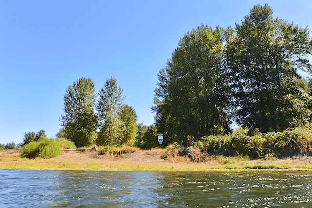
Note that as of 9/16/20 Sam Daws and Buckskin Mary Landing are essentially one and the same site due to a shift in the river channel. You will see the sign on river right printed with the name “Buckskin Mary.”
Karl Lisle Jul 29, 2013
I couldn’t find much suitable for camping here. And this side channel no longer flows. Better to continue up around the bend to Buckskin Mary. There was a Bald Eagle eating a fish here.
Paul Norman Aug 5, 2013
We found a decent camp just north of where the map icon for Sam Daws Landing shows on the river trail map.
Travis Williams May 8, 2014
Hmmm. There is a lot of room on the West Side of the river, basically from the river’s edge up to 150 feet in. The East side, where there is a river register works great too, and has a lot more space.