Marshall Island Landing to Harrisburg
Safety Alert:
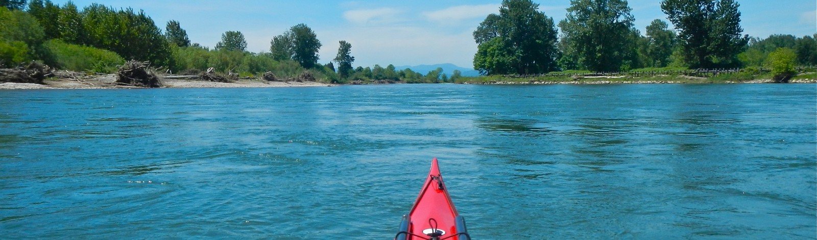
Recommended experience on meandering channels with strong current in places. There are often wood strainers along this reach, and also piled up on the railroad bridge before reaching Harrisburg. Be prepared to scout and/or maneuver your boat in current to avoid hazards.
-
Marshall Island Access
LoadingThis OPRD park has a newly improved boat ramp as of the fall of 2012. Paddlers will also appreciate the enlarged eddy to launch into before hitting the current.
-
-
Brown’s Boat Skid
Loading(Brown’s Landing State Park)
-
Scandia Landing
LoadingSmall strip of Greenway that can be used as a lunch stop (no amenities).
-
Blue Ruin Island
LoadingThis is a large island with a small backchannel, usually year-round, but the channel is reliable full of wood. It has little protection from the sun, but offers a flat…
-
Harrisburg Park
LoadingThis park has a boat ramp, flushing toilets, water, picnic tables, and grass. There are two small grocery stores only three blocks away. There is also a parking area next…